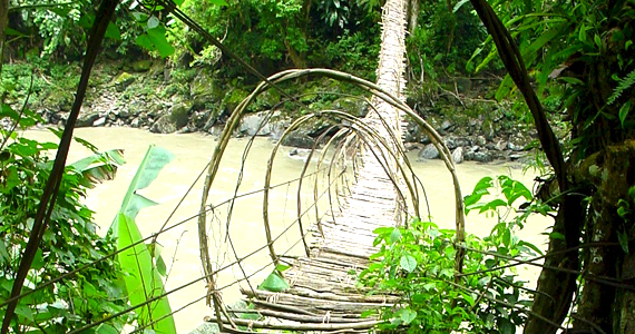
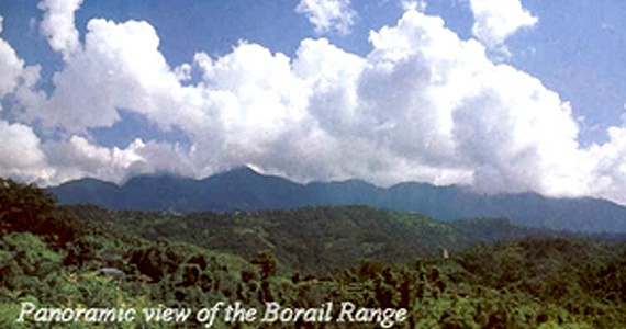
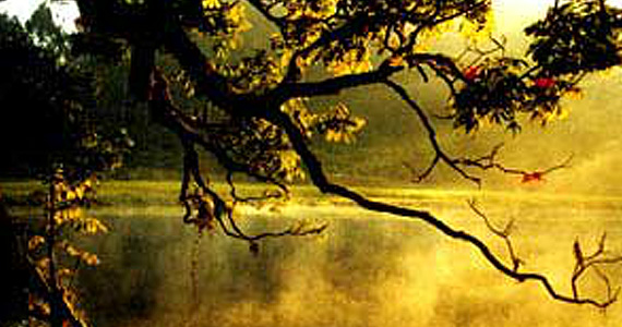
Arunachal Pradesh, the erstwhile North-East Frontier Agency shares international boundaries with Bhutan, Tibet, China and Myanmar to the west, north-east, north and east respectively, and the state boundaries with Assam and Nagaland. The terrain consists of submontane and mountainous ranges, sloping down to the plains of Assam, divided into valleys by the rivers Kameng, Subansiri, Siang, Lohit and Tirap.
Assam
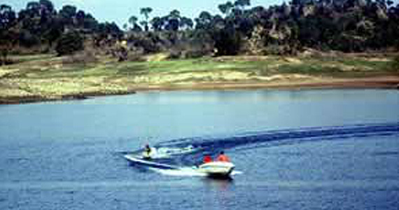
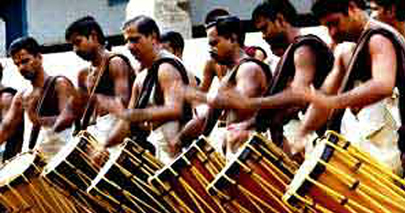
The word Assam as interpreted by some scholars is derived from the Sanskrit word Asoma meaning peerless or unparalleled. But the widely accepted opinion of the academic circles today is that the term has come from the original name of the Ahoms , who ruled the land for about six hundred years prior to its annexation by the British.Assam is the sentinel of north-east India and gateway to the North-Eastern States. The State is close to India's international borders with Bangladesh and Bhutan. Assam is surrounded by Bhutan and Arunachal Pradesh on the north, Manipur, Nagaland and Arunachal Pradesh on the east and Meghalaya, Tripura and Mizoram on the south.
Chandigarh
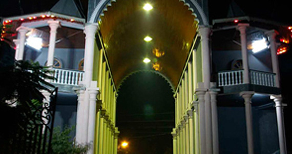
Chandigarh is a fully grown town of most modern architectural splendour. The city nestles in a picturesque setting in the foothills of Shivalik hills and enjoys the popular epithet the City Beautiful. Representative of modern Architecture & Town Planning, the city is a creation of the French Architect, Le Corbusier, Chandigarh and the area surrounding it were constituted as a Union Territory on 1 November 1966. It serves as the joint capital of both Punjab and Haryana States. It is bounded on North and West by Punjab and on the East and South by Haryana.
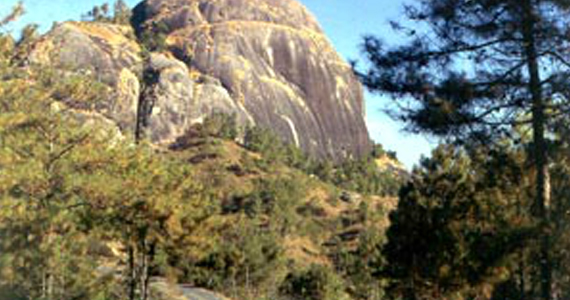
Himachal Pradesh
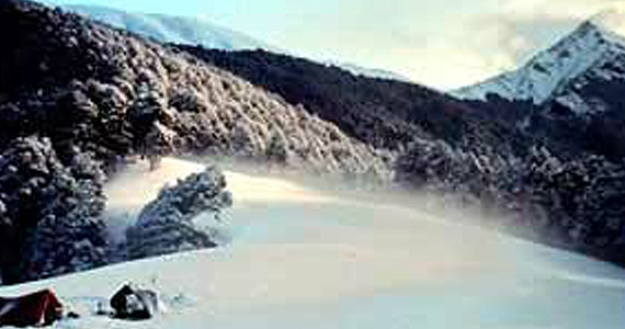
Himachal situated in the heart of the Western Himalya, identified as Dev Bhumi is believed to be the abode of God and Goddesses. The entire State is punctuated with stone as well as wood temples. The rich culture and traditions has made Himachal unique in itself. The shadowy valleys,rugged crags,glaciers and gigantic pines and roaring rivers and exquisite flora and fauna composes the symphony that is for ever Himachal.
Kerala
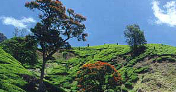
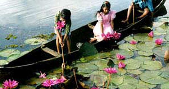
Kerala is in the extreme south-west of the Indian subcontinent. When the independent India amalgamated small states together Travancore and Cochin states were integrated to form Travancore-Cochin state on 1 July, 1949. However, Malabar remained under the Madras province. Under the State's reorganisation Act-1956, Travancore-Cochin state and Malabar were united to form Kerala State on 1 November, 1956.
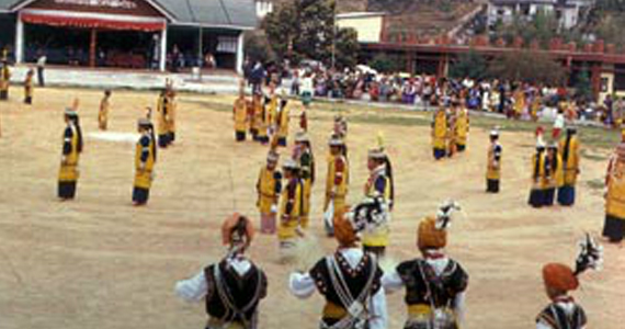
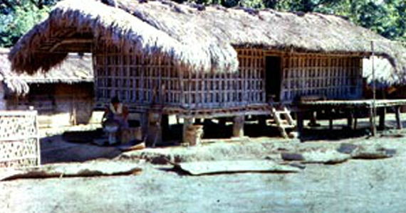
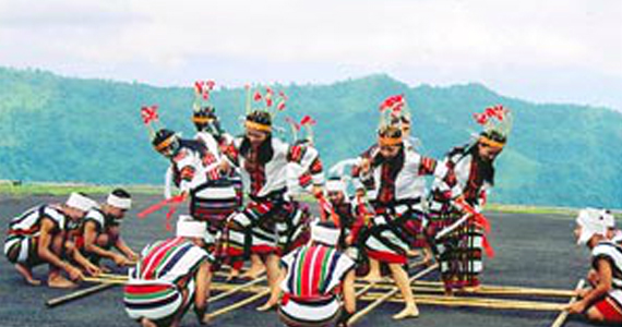
Manipur
Manipur is situated on the eastern frontier of India. It is bounded on the east by Myammar (Burma), on the north by the State of Nagaland, on the west by the State of Assam and on the south by the State of Mizoram and Myanmar.Physically Manipur comprises of two parts, the hills and the valley. The valley is at the centre surrounded by hills on all sides. The hills cover about 9/10 of the total area of the State. Manipur Valley is about 790 metres above the sea level. The hill ranges are higher on the north and gradually diminish in height as they reach the southern part of Manipur. The valley itself slopes down towards the south.
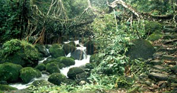
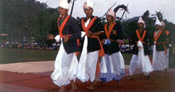
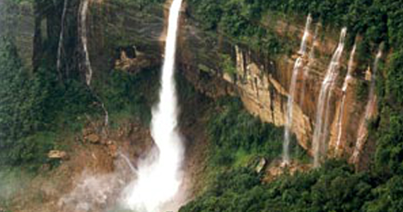
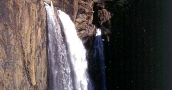
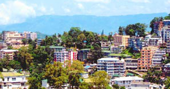
Meghalaya
Meghalaya was created as an autonomous state within the state of Assam on 2 April, 1970. The full-fledged State of Meghalaya came into existence on 21 January, 1972. It is bound on the north and east by Assam, and on the south and west by Bangladesh. Meghalaya, literally meaning the abode of clouds, is essentially a hilly state. It is predominantly inhabited by the Khasis, the Jaintias, and the Garo tribal communities. The Khasi Hills and Jaintia Hills, which form the central and eastern part of Meghalaya, is an imposing plateau with rolling grasslands, hills and river valleys. The southern face of the plateau is marked by deep gorges and abrupt slopes, at the foot of which, a narrow strip of plain land runs along the international border with Bangladesh.
Mizoram
Mizoram is a mountainous region, which became the 23rd state of the Indian Union in February 1987. It was one of the districts of Assam till 1972 when it became a Union Territory. After being annexed by the British in 1891, for the first few years, Lushai Hills in the north remained under Assam, while the southern half remained under Bengal. Both these parts were amalgamated in 1898 into one district called Lushai Hills District under the Chief Commissioner of Assam. With the implementation of the North-Eastern Reorganisation Act in 1972, Mizoram became a Union Territory and as a sequel to the signing of the historic memorandum of settlement between the Government of India and the Mizo National Front in 1986, it was granted statehood on 20 February, 1987.
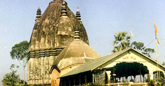
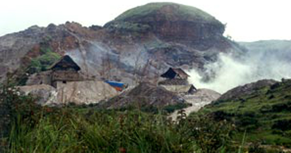
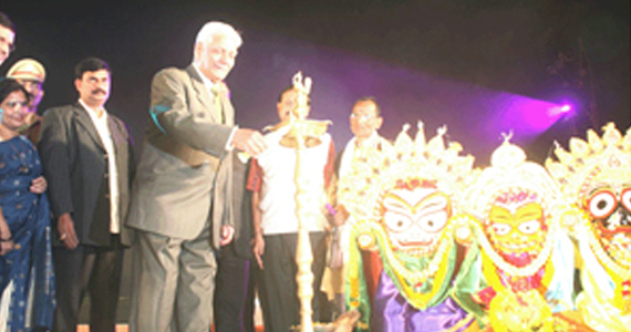
Odisha
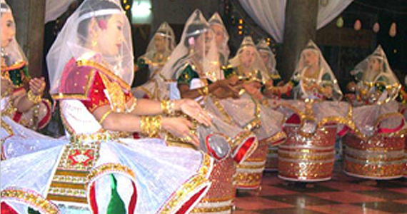
The name Odisha is derived from Sanskrit word Odra Vishaya or Odra Desa. The Odisha state, which was once a land of Kings and Kingdoms, now boasts of being rich source of natural resources. Its people, temple architecture, classical dance,religions, fairs and festivals, unique handlooms and handicrafts, green woodlands, rock caves, charming blue hills have always attracted historians, tourists and travellers from all over the world.
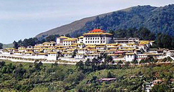
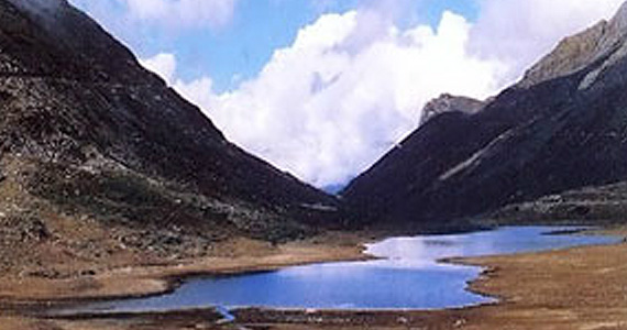
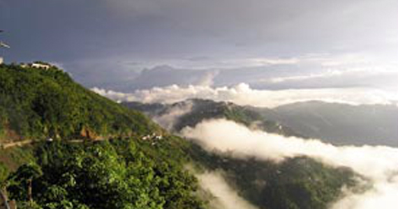
Sikkim
Sikkim is a small hilly state, bounded by vast stretches of Tibetan Plateaux in the North, the Chumbi Valley of Tibet and the Kingdom of Bhutan in the East, the Kingdom of Nepal in the West, and Darjeeling (West Bengal) in the South.Sikkim is a blessed land, where people from all communities live in harmony. Inspite of the fact that Sikkim comprises of different people and multi ethnic society, perhaps it is the most peaceful state of the Indian Union to promote communal harmony and human relations, a feat which is much expected in a plural society like India.
Tripura
Tripura is a state in North-East India which borders Bangladesh, Mizoram and Assam. It is surrounded by Bangladesh on its north, south and west: the length of its international border is 856 km (84 per cent of its total border). It shares a 53 km long border with Assam and a 109 km long border with Mizoram. The state is connected with the rest of India by only one road (NH-44) that runs through the hills to the border of Karimganj District in Assam and then winds through the states of Meghalaya, Assam and North Bengal to Calcutta.